File:Phou Pha Thi.gif
Size of this preview: 482 × 600 pixels. Other resolutions: 193 × 240 pixels | 556 × 692 pixels.
Original file (556 × 692 pixels, file size: 164 KB, MIME type: image/gif)
|
|
This is a file from the Wikimedia Commons |
Summary
| Description |
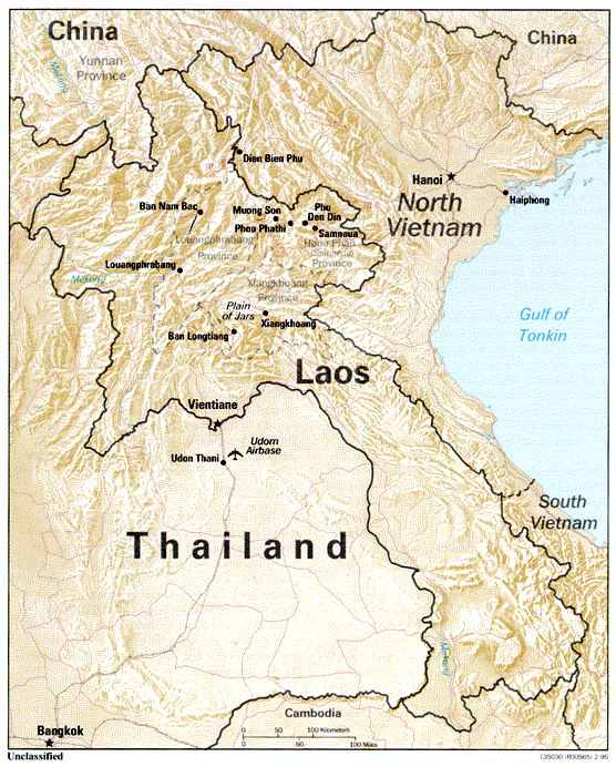
English: This map shows the location of Phou Pha Thi in Laos. |
| Date |
|
| Source | https://www.cia.gov/library/center-for-the-study-of-intelligence/csi-publications/csi-studies/studies/95unclass/Linder.html |
| Author | Canpark at English Wikipedia |
Licensing
| This image is a work of a Central Intelligence Agency employee, taken or made as part of that person's official duties. As a Work of the United States Government, this image or media is in the public domain in the United States.
|

|
Original upload log
Transferred from en.wikipedia to Commons by ronhjones.
The original description page was here. All following user names refer to en.wikipedia.
Upload date | User | Bytes | Dimensions | Comment
- 2011-06-19 10:22 (UTC) | Canpark | 167479 (bytes) | 556×692 | {{Information |Description = This map shows the location of Phou Pha Thi in Laos. |Source = https://www.cia.gov/library/center-for-the-study-of-intelligence/csi-publications/csi-studies/studies/95unclass/Linder.html |Date = 14 Apri
File history
Click on a date/time to view the file as it appeared at that time.
| Date/Time | Thumbnail | Dimensions | User | Comment | |
|---|---|---|---|---|---|
| current | 19:47, 1 February 2015 | | 556 × 692 (164 KB) | Ronhjones | (Original text) : {{Information |Description = This map shows the location of Phou Pha Thi in Laos. |Source = https://www.cia.gov/library/center-for-the-study-of-intelligence/csi-publications/csi-studies/studies/95unclass/Linder.html |Dat... |
File usage
The following page uses this file:
Global file usage
The following other wikis use this file:
- Usage on arz.wikipedia.org
- Usage on de.wikipedia.org
- Usage on en.wikipedia.org
- Usage on lld.wikipedia.org
- Usage on www.wikidata.org