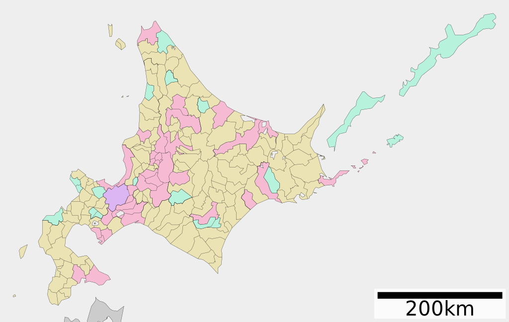
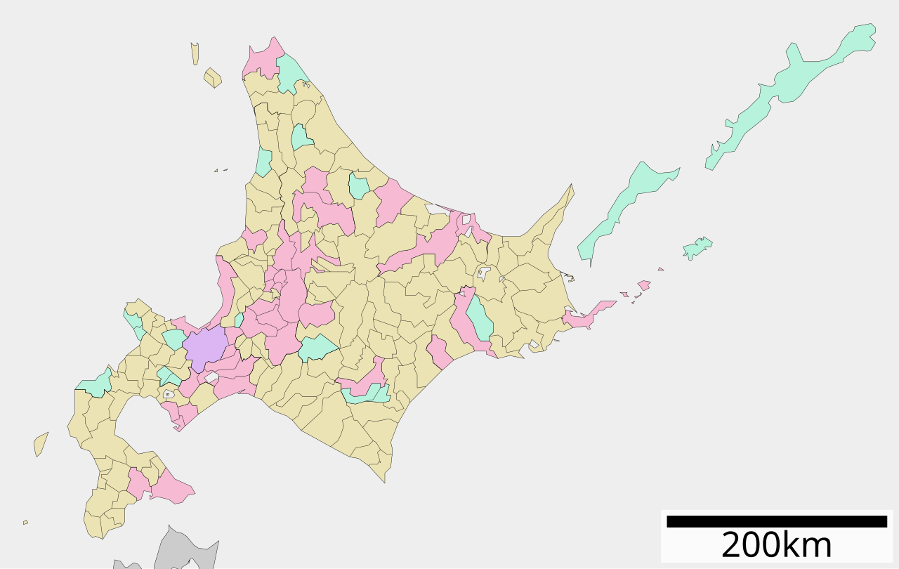
File:Map of Hokkaido Prefecture Ja.svg

Original file (SVG file, nominally 612 × 387 pixels, file size: 19 KB)
|
|
This is a file from the Wikimedia Commons |
Summary
| Description |
English: Map of Hokkaido Prefecture, Japan. +9 Hours
日本語: ja:北海道区画図 |
||
| Date | (UTC) | ||
| Source |
|
||
| Author | Lincun | ||
| Permission (Reusing this file) |
|
Licensing

|
Permission is granted to copy, distribute and/or modify this document under the terms of the GNU Free Documentation License, Version 1.2 or any later version published by the Free Software Foundation; with no Invariant Sections, no Front-Cover Texts, and no Back-Cover Texts. A copy of the license is included in the section entitled GNU Free Documentation License. |
- You are free:
- to share – to copy, distribute and transmit the work
- to remix – to adapt the work
- Under the following conditions:
- attribution – You must give appropriate credit, provide a link to the license, and indicate if changes were made. You may do so in any reasonable manner, but not in any way that suggests the licensor endorses you or your use.
- share alike – If you remix, transform, or build upon the material, you must distribute your contributions under the same or compatible license as the original.
Original upload log
| This file was moved from Japanese Wikipedia.
See below for original file information. | ||||||||||||||||||||||||||||||||||||
| ||||||||||||||||||||||||||||||||||||
|
| ||||||||||||||||||||||||||||||||||||
File history
Click on a date/time to view the file as it appeared at that time.
| Date/Time | Thumbnail | Dimensions | User | Comment | |
|---|---|---|---|---|---|
| current | 03:23, 4 December 2020 | | 612 × 387 (19 KB) | AichiWikiFixer | Reverted to version as of 04:41, 23 September 2020 (UTC) |
| 05:02, 23 September 2020 |  | 800 × 500 (48 KB) | AichiWikiFixer | Reduce size and fix. | |
| 04:41, 23 September 2020 |  | 612 × 387 (19 KB) | AichiWikiFixer | Update. | |
| 08:26, 23 August 2019 |  | 800 × 500 (55 KB) | LT sfm | Changed some borders and colors | |
| 05:46, 23 August 2019 |  | 800 × 500 (55 KB) | LT sfm | 上湧別町・湧別町の合併、他の区画図と体裁を統一 | |
| 03:07, 23 August 2019 |  | 800 × 500 (54 KB) | LT sfm | Trimmed margins | |
| 02:57, 23 August 2019 |  | 800 × 572 (54 KB) | LT sfm | Unified appearance with other prefecture maps | |
| 14:30, 18 December 2018 |  | 800 × 572 (44 KB) | Nazki rhetorica | Reverted to version as of 20:22, 26 April 2008 (UTC) 海岸線の処理が雑 | |
| 05:27, 23 January 2016 |  | 800 × 572 (90 KB) | Trần Nguyễn Minh Huy | fix color | |
| 20:22, 26 April 2008 |  | 800 × 572 (44 KB) | Krisgrotius | {{Information| |Description= Map of Hokkaido Prefecture, Japan. |Source= Japanese wiki [http://ja.wikipedia.org/wiki/%E7%94%BB%E5%83%8F:%E5%8C%85%E6%8B%AC%E8%87%AA%E6%B2%BB%E4%BD%93%E5%8C%BA%E7%94%BB%E5%9B%B3_01000.svg] |Date=~~~~~ |Author=[[:ja: 利� |
File usage
The following page uses this file:
Global file usage
The following other wikis use this file:
- Usage on bn.wikibooks.org
- Usage on en.wikipedia.org
- Usage on fr.wikipedia.org
- Usage on ja.wikipedia.org
- Usage on ko.wikipedia.org
- Usage on nl.wikipedia.org
- Usage on no.wikipedia.org
- Usage on oc.wikipedia.org
- Usage on ro.wikipedia.org
- Usage on tr.wikipedia.org
- Sapporo
- Hokkaidō
- Hakodate
- Wakkanai
- Asahikawa
- Otaru
- Kushiro
- Tomakomai
- Obihiro
- Ishikari
- Kitami
- Abashiri
- Ebetsu
- Chitose
- Eniwa
- Kitahiroshima
- Date, Hokkaidō
- Muroran
- Nemuro
- Iwamizawa
- Rumoi
- Noboribetsu
- Hokuto, Hokkaidō
- Takikawa
- Utashinai
- Nayoro
- Bibai
- Monbetsu
- Furano
- Fukagawa
- Shibetsu
- Sunagawa
- Ashibetsu
- Akabira
- Yūbari (şehir)
- Mikasa (şehir)
- Şablon:Hokkaidō'nun belediyeleri
- Tōyako
- Niseko
View more global usage of this file.