File:Figure 2 2--Fremont and Preuss map of the Great Salt Lake.jpg
Size of this preview: 406 × 600 pixels. Other resolutions: 162 × 240 pixels | 325 × 480 pixels | 812 × 1,200 pixels.
Original file (812 × 1,200 pixels, file size: 189 KB, MIME type: image/jpeg)
|
|
This is a file from the Wikimedia Commons |
Summary
| Description |
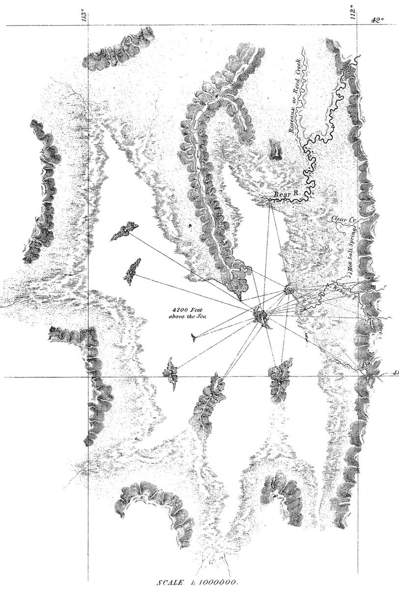
English: 1845 map of the Great Salt Lake, surveyed by John Fremont during his survey of the American West, and Mexican Territories. |
| Date | |
| Source | John Fremont and John Preuss map of the Great Salt Lake, from John Fremont's map of 1845, which was part of the U.S. Survey of the West. |
| Author | John Fremont |
Licensing
This work is in the public domain in the United States because it was published (or registered with the U.S. Copyright Office) before January 1, 1929.
Public domain works must be out of copyright in both the United States and in the source country of the work in order to be hosted on the Commons. If the work is not a U.S. work, the file must have an additional copyright tag indicating the copyright status in the source country.
Note: This tag should not be used for sound recordings. |
File history
Click on a date/time to view the file as it appeared at that time.
| Date/Time | Thumbnail | Dimensions | User | Comment | |
|---|---|---|---|---|---|
| current | 22:54, 10 June 2020 | | 812 × 1,200 (189 KB) | Benjamin J. Burger | Uploaded a work by John Fremont from John Fremont and John Preuss map of the Great Salt Lake, from John Fremont's map of 1845, which was part of the U.S. Survey of the West. with UploadWizard |
File usage
The following 2 pages use this file: