File:Cassilis historical area.jpg

Original file (2,000 × 849 pixels, file size: 942 KB, MIME type: image/jpeg)
|
|
This is a file from the Wikimedia Commons |
Summary
| Description |
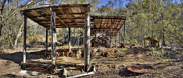
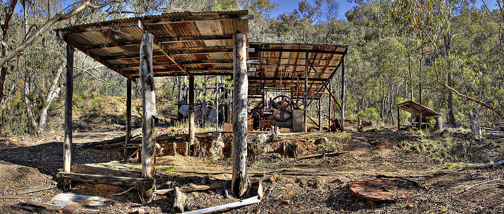
English: Cassilis Historical Park. Cassilis was once the largest gold mining town in Victoria, it is now a ghost town. |
|||||||||
| Source | Own work | |||||||||
| Author |
|
|||||||||
| Permission (Reusing this file) |
|
|||||||||


Licensing
| ||||||||

|
Permission is granted to copy, distribute and/or modify this document under the terms of the GNU Free Documentation License, Version 1.2 only as published by the Free Software Foundation; with no Invariant Sections, no Front-Cover Texts, and no Back-Cover Texts. A copy of the license is included in the section entitled GNU Free Documentation License. | 1.2 only |
This file is published under the following Creative Commons license:
Attribution NonCommercial Unported 3.0 |
| Camera location | | View this and other nearby images on: OpenStreetMap |
|---|
File history
Click on a date/time to view the file as it appeared at that time.
| Date/Time | Thumbnail | Dimensions | User | Comment | |
|---|---|---|---|---|---|
| current | 05:48, 3 September 2006 | | 2,000 × 849 (942 KB) | Fir0002 | Cassilis Historical Park. Cassilis was once the largest gold mining town in Victoria, it is now a ghost town. {{Fir0002 17}} |
File usage
The following page uses this file:
Global file usage
The following other wikis use this file:
- Usage on arz.wikipedia.org
- Usage on de.wikipedia.org
- Usage on en.wikipedia.org
- Usage on es.wikipedia.org
- Usage on ja.wikipedia.org
- Usage on ko.wikipedia.org
- Usage on ms.wikipedia.org
- Usage on www.wikidata.org